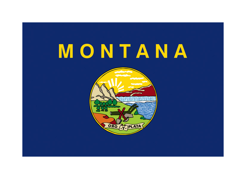
U.S. State of Montana Map with Inset of Location in Country
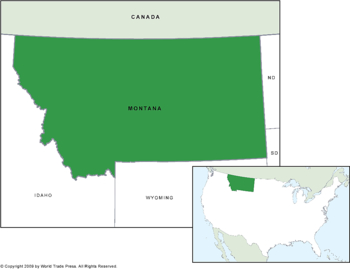
| Dimensions: | 7.5 x 10.0 in (19.1 x 25.4cm) |
|---|---|
| Publisher or Printer: | World Trade Press |
| Published in: | Traverse City, MI |
| Year Published: | 2020 |
The U.S. State of Montana in high color contrast against surrounding states. Also includes neighbor state borders and inset map of the United States with location of California in high color contrast.
Features on This Map:
- State Borders: YES
- Coastline: YES
- Featured State in High Color Contrast: YES
- Temperature Overlay: Isopleth Vector
View, Print, Download
U.S. State of Montana Map Inset into United States Map
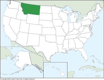
| Dimensions: | 7.5 x 10.0 in (19.1 x 25.4cm) |
|---|---|
| Publisher or Printer: | World Trade Press |
| Published in: | Traverse City, MI |
| Year Published: | 2020 |
The U.S. State of Montana set into United States map in high color contrast. Also includes all state borders.
Features on This Map:
- State Borders: YES
- Coastline: YES
- Featured State in High Color Contrast: YES
- Temperature Overlay: Isopleth Vector
View, Print, Download
U.S. State of Montana Map Inset into United States Map
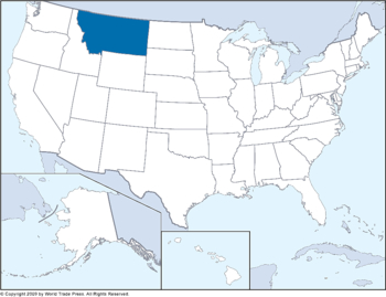
| Dimensions: | 7.5 x 10.0 in (19.1 x 25.4cm) |
|---|---|
| Publisher or Printer: | World Trade Press |
| Published in: | Traverse City, MI |
| Year Published: | 2020 |
The U.S. State of Montana set into United States map in high color contrast. Also includes all state borders.
Features on This Map:
- State Borders: YES
- Coastline: YES
- Featured State in High Color Contrast: YES
- Temperature Overlay: Isopleth Vector
View, Print, Download
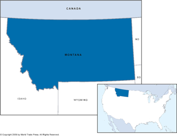
U.S. State of Montana Map with Inset of Location in Country
| Dimensions: | 7.5 x 10.0 in (19.1 x 25.4cm) |
|---|---|
| Publisher or Printer: | World Trade Press |
| Published in: | Traverse City, MI |
| Year Published: | 2020 |
The U.S. State of Montana in high color contrast against surrounding states. Also includes neighbor state borders and inset map of the United States with location of California in high color contrast.
Features on This Map:
- State Borders: YES
- Coastline: YES
- Featured State in High Color Contrast: YES
- Temperature Overlay: Isopleth Vector
View, Print, Download
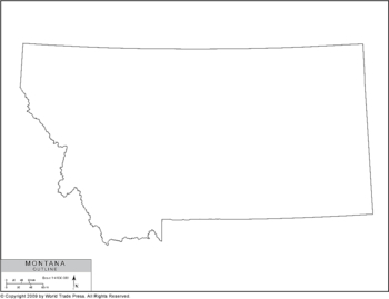
Simple Outline Map of Montana
| Dimensions: | 7.5 x 10.0 in (19.1 x 25.4cm) |
|---|---|
| Publisher or Printer: | World Trade Press |
| Published in: | Traverse City, MI |
| Year Published: | 2020 |
A simple base map in outline of Montana in black and white.
Features on This Map:
- Legend
- State Boundary
- Coastline (if app.)
- Projection: Lambert Conformal Conic
View, Print, Download
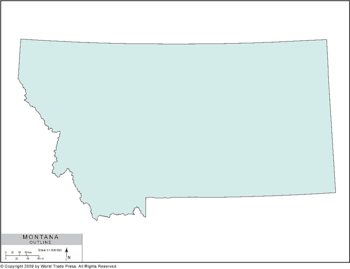
Simple Outline Map of Montana in Color
| Dimensions: | 7.5 x 10.0 in (19.1 x 25.4cm) |
|---|---|
| Publisher or Printer: | World Trade Press |
| Published in: | Traverse City, MI |
| Year Published: | 2020 |
A simple outline map of Montana in color.
Features on This Map:
- Legend
- State Boundary
- Coastline (if app.)
- Projection: Lambert Conformal Conic
View, Print, Download
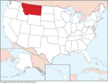
U.S. State of Montana Map Inset into United States Map
| Dimensions: | 7.5 x 10.0 in (19.1 x 25.4cm) |
|---|---|
| Publisher or Printer: | World Trade Press |
| Published in: | Traverse City, MI |
| Year Published: | 2020 |
The U.S. State of Montana set into United States map in high color contrast. Also includes all state borders.
Features on This Map:
- State Borders: YES
- Coastline: YES
- Featured State in High Color Contrast: YES
- Temperature Overlay: Isopleth Vector
View, Print, Download
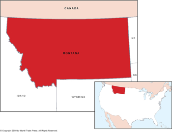
U.S. State of Montana Map with Inset of Location in Country
| Dimensions: | 7.5 x 10.0 in (19.1 x 25.4cm) |
|---|---|
| Publisher or Printer: | World Trade Press |
| Published in: | Traverse City, MI |
| Year Published: | 2020 |
The U.S. State of Montana in high color contrast against surrounding states. Also includes neighbor state borders and inset map of the United States with location of Montana in high color contrast.
Features on This Map:
- State Borders: YES
- Coastline: YES
- Featured State in High Color Contrast: YES
- Temperature Overlay: Isopleth Vector
View, Print, Download
Copyright © 1993-2025 World Trade Press. All rights reserved.


